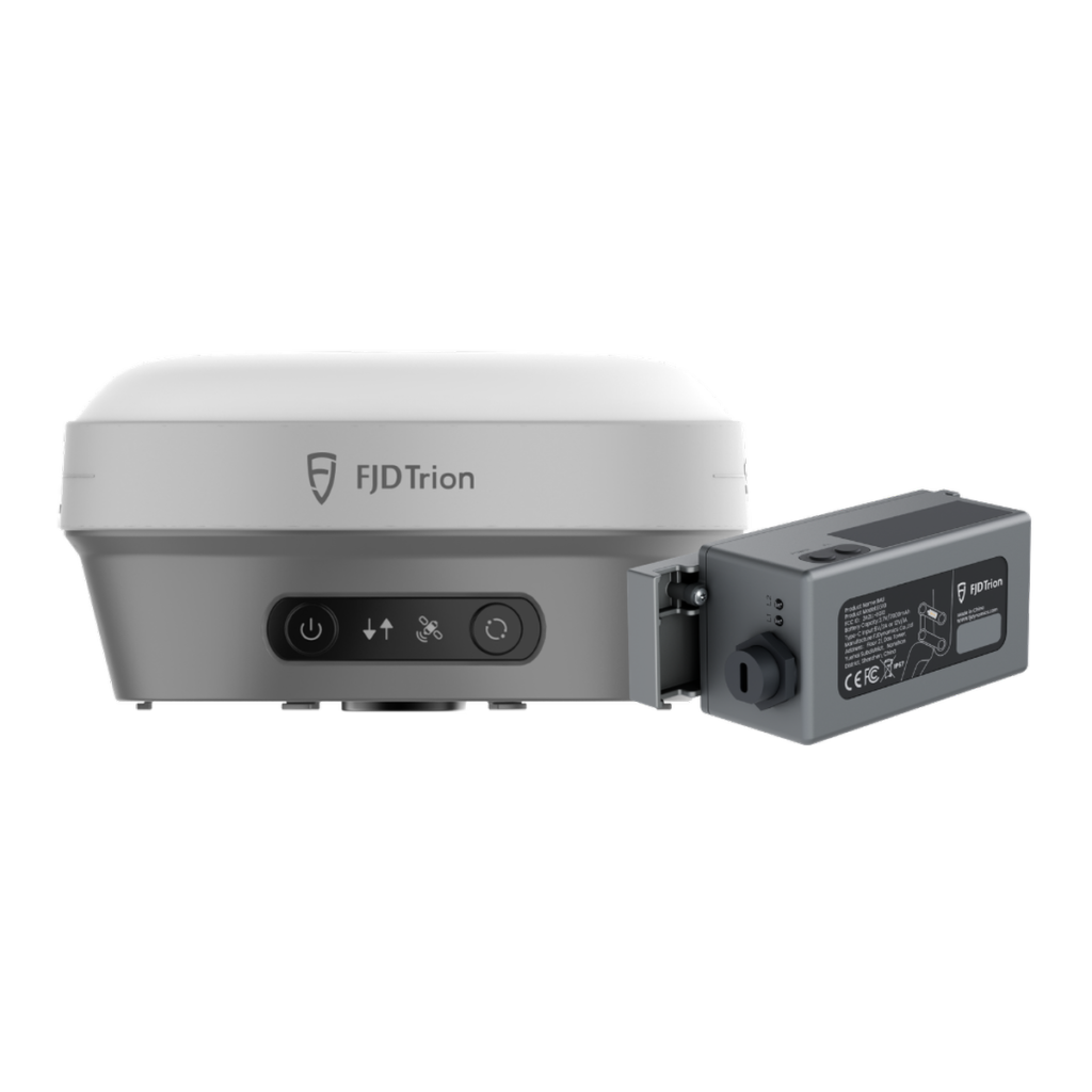
Dug a trench twice because the pegs got knocked? Kept a labourer in the hole with a staff all day? The FJD Trion EG10 is a wireless excavator GPS guidance system built for that work. The sensors go on and come off without modifying the machine, so the kit can follow you to the next one. It suits owner-operators, plumbers and drainers, and civil and farm contractors who want GPS guidance without a permanently installed system.
EG10, EC100 or a Laser Kit?
We sell all three, so here’s the straight answer.
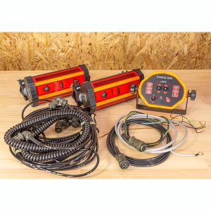
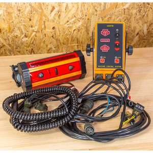
- Laser and machine receiver kits: the simplest way to dig to one grade, but you need a laser on site and you work to a single plane, with no design files.
- FJD Trion EG10: GPS guidance to levels, lines, slopes and designs with no laser on site, in a portable kit for more than one excavator or a machine that doesn’t need guidance every day.
- FJD Trion EC100: a dual-antenna full 3D system with sensors installed on the machine, for a machine that works to design every day.
How It Works
The GNSS receiver sits on a magnetic holder on the side of the stick, and the wireless tilt sensor (IMU) sits in a quick-release base on the bucket linkage. The tablet in the cab shows left, middle and right cut/fill at the teeth, with front, side and 3D views. The receiver links to the tablet over Wi-Fi and the IMU over Bluetooth, so no cables run back to the cab. It’s guidance: you still drive the machine.
The receiver needs a clear view of the sky, so tall buildings, heavy tree cover and deep, narrow excavations can affect it. It doesn’t replace your surveyor where the job needs one; it gets the design into the cab and keeps you on it.
Guidance Modes
- Levelling: one target height for house pads, shed sites, paddocks and land levelling.
- Line guidance: a straight A-B line and target level keep trenches, drains and channels on line and on depth. Check final pipe fall with a pipe laser or level as usual.
- Slope formation: set the fall along a trench or drain, or cross slopes for batters, embankments and road formation.
- Field design on the tablet: point and direction, two points, plane, cross-section, surface and road designs, built in the cab.
Corrections: What ±3 cm Needs
The ±3 cm rating needs RTK corrections from one of two sources. With 4G coverage, the receiver’s built-in modem takes corrections from an NTRIP service, including subscription networks and Geoscience Australia’s free AUSCORS streams; you supply the Nano-SIM and data plan. Out of coverage, the receiver’s UHF radio takes corrections from your own GNSS base on site (not included; a transmitting 400 MHz base needs an ACMA licence in Australia). Tell us where you work and we’ll check what suits before you buy.
EG10 FAQs
Does the EG10 move the bucket for me?
No. The EG10 is guidance. The tablet shows where the bucket teeth are against your target and how much is left to cut or fill, and the operator runs the hydraulics as normal.
How accurate is it?
FJD rates it at ±3 cm with an RTK fixed solution and the receiver within 60° of vertical. That needs corrections and a clear view of the sky. Check against a site benchmark at the start of each day.
Will it fit my excavator?
FJD’s compatibility chart covers mono, swing, two-piece and offset booms with standard or tilt buckets, and a tilt bucket needs no extra sensor. It doesn’t support tiltrotators. The machine needs a flat steel area on the side of the stick for the magnetic holder and a spot on the bucket linkage for the IMU. Running a mini, a tilt hitch or anything unusual? Send us the make and model and we’ll confirm with FJD.
How long does it take to fit and calibrate?
FJD quotes about 10 minutes to fit and 25 minutes to calibrate each machine, measuring the stick and linkage with the supplied tape and plumb bobs. The tablet saves each machine and its buckets, so you don’t recalibrate at every start-up while the bucket and boom set-up stays the same.
Can I use the receiver for surveying?
Yes. The receiver comes off the excavator and works with FJD’s Trion Survey app on a compatible Android device or controller, which isn’t in the EG10 kit. Ask us what you’d need.
What’s standard and what’s optional?
Levelling, line guidance, slope formation, cut/fill display and on-tablet design are standard. Two optional licences add imported design files (DWG, DXF, SHP, KML and XML) and 6,000+ predefined coordinate systems. If your jobs come with design files or tie into survey control, tell us the coordinate system and height datum on your plans and we’ll check they’re covered.
What warranty and support do I get?
A 12-month FJD manufacturer’s warranty (some accessories carry shorter cover), plus your rights under Australian Consumer Law. Your first call is to us in Geelong on 1800 769 858, and we can help with set-up and training.